Earth science
Interactive 3D labs for earth science are coming soon.
- 4 tools
- 2 in 3D
- 2 with live charts
Showing 4 of 4
- Weather Observatory & Forecast7-day NOAA GFS hourly weather forecast, RainViewer precipitation radar, GK-2A satellite imagery, and live Hanoi IoT weather & air quality stations.Tool#weather-station#live-weather
- SondeRadio Telemetry TrackerLive radiosonde weather balloon tracking (400–406 MHz), 3D trajectory & burst altitude, atmospheric sounding profiles, and landing predictor.Tool#radiosonde-tracker#weather-balloon
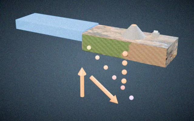
- Plate tectonicsMove plates and see earthquakes, volcanoes and mountains form.Simulation#plate-tectonics#convergent-boundary
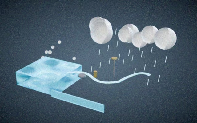
- Water cycleFollow water through evaporation, clouds and rain.Simulation#water-cycle#evaporation
Explore related subjects
3D Earth Science, Atmospheric Physics & Meteorology
Explore Earth Science and live meteorology on hoan.uk: 3D Globe radiosonde sounding, GK-2A satellite imagery, typhoon tracking, and atmospheric physics.
Key Astrometric & Technical Capabilities
- 3D Spherical Globe & DEM Terrain stratospheric radiosonde tracking (0–35 km Skew-T sounding)
- Real-time GK-2A geostationary meteorological satellite imagery and Western Pacific typhoon tracker
- Multi-layer Earth internal structure (crust, mantle, liquid outer core, solid inner core) and Milankovitch orbital climate cycles