Earth science
Interactive 3D labs for earth science are coming soon.
- 4 tools
- 2 in 3D
- 2 with live charts
Showing 4 of 4
- Weather Observatory & Forecast7-day NOAA GFS hourly weather forecast, RainViewer precipitation radar, GK-2A satellite imagery, and live Hanoi IoT weather & air quality stations.Tool#weather-station#live-weather
- SondeRadio Telemetry TrackerLive radiosonde weather balloon tracking (400–406 MHz), 3D trajectory & burst altitude, atmospheric sounding profiles, and landing predictor.Tool#radiosonde-tracker#weather-balloon
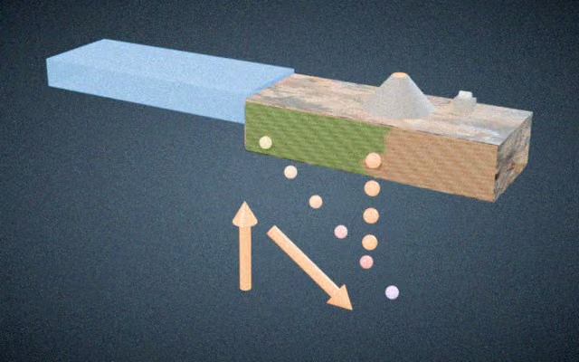
- Plate tectonicsMove plates and see earthquakes, volcanoes and mountains form.Simulation#plate-tectonics#convergent-boundary
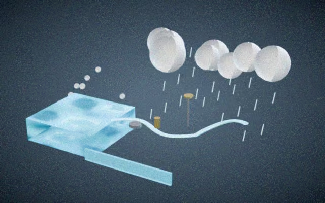
- Water cycleFollow water through evaporation, clouds and rain.Simulation#water-cycle#evaporation
Explore related subjects
Khoa học Trái Đất 3D, Vật lý Khí quyển & Khí tượng
Khám phá Khoa học Trái Đất và khí tượng thời gian thực: Định vị bóng thám không 3D Globe, ảnh vệ tinh GK-2A, theo dõi bão và vật lý khí quyển.
Tính năng kỹ thuật nổi bật
- Quả địa cầu 3D tích hợp địa hình DEM theo dõi bóng thám không tầng bình lưu (0–35 km) và biểu đồ Skew-T
- Ảnh mây vệ tinh địa tĩnh GK-2A Hàn Quốc thời gian thực và hệ thống cảnh báo bão Tây Bắc Thái Bình Dương
- Cấu trúc phân lớp địa cầu 3D (vỏ, manti, lõi ngoài lỏng, lõi trong rắn) và chu kỳ khí hậu quỹ đạo Milankovitch